Best Topographical Maps
For Hikers: How To Use Them,
Where To Get Them
By Diane Spicer
Reading topographical maps
It's important to carry either an electronic or paper copy of topographical maps into the area you're hiking through, even if you're on a well marked trail.
Wait!
What are topographical maps?
Just in case you've never seen one, let's start at the very beginning, with an explanation of the best topo maps for hikers.
Then we'll get into the minutiae of how to interpret the squiggly lines and symbols.
Literally, they are the lay of the land
in picture form
Topographical maps represent the topography of an area.
That's just a fancy way of saying it lays out the features: hills, valleys, ridges, rivers.
A hiker needs to know when there are elevation gains and losses, when there are water crossings, and when a mile will feel longer than a straight line mile on flat surfaces.
Tip: Hikers call these "topo" maps, because it gets tedious to say the whole long name every time.
Give me an example!
Here's a good step by step walk through of how to use a topo map as a hiker.
Heads up
This link (no longer available; looking for something new to share here!) takes you to a great example of elevation changes at Ship Rock, New Mexico.
You will definitely notice a lot of lines, of every shape: straight, crooked, solid, broken.
- Brown lines jump out at you, right? They are contour lines, telling you about how the height of the land is changing.
- Blue lines identify surface water of various types.
- Red or black lines tell you where roads (including railroads) begin and end.
Because this is New Mexico topo map, brown lines predominate.
Why?
Lack of surface water and sparse human activity (roads, buildings) in this area make colors other than brown something you have to hunt for.
- Notice the bright green areas in the lower left.
- That's vegetation.
Check this out!
Now take a look at this topo map (again, link no longer available) of an entirely different region in Georgia.
- Surface water is all over the place!
- This region is definitely flatter, because the contour lines are widely spaced, except for Stone Mountain.
- You can see how the roads are laid out, and how they interact with the topography. For example, they skirt Stone Mountain rather than go over the top of it.
Getting the hang of this?
Here's the punch line.
The shorthand beauty
of topo maps
These maps make efficient use of symbols to tell you about the things you'll find as you explore an area.
An example:
- Little black squares represent individual human made structures. Most of them are lined up along roads.
There might also be a place or feature name near the symbol, giving you even more information that you can use to cross reference on another map.
The scale of the map is also important, giving you information about how to convert inches or centimeters into "real" dimensions such as miles or kilometers.
Practice makes perfect!
(and it's fun)
The only way to get good at reading a topographical map is to practice.
You can download a free one, then write a description of a section of a trail that you see on the map.
- In other words, you are translating from symbols to words.
What a great way to build or strengthen your hiking skills!
P.S. It's a fun skill to teach kids, who are intuitively drawn to maps, colors and wiggly lines.
Where to get topographical maps
for hiking
In the United States, The USGS provides free downloads of topo maps.
- This link takes you to a map of the U.S., and you can select the region you're planning to hike in. Print the maps you need, and carry them in a plastic bag.
If you'd rather purchase maps, there are several companies that make topographical maps.
- Here's an example: Trails Illustrated topo map of the John Muir Trail. Note the 1:63,360 scale when planning hiking mileage.
Trail tip for map preservation
To keep your purchased maps safe and dry, use a sturdy map case like this one.
- Don't fold it.
- Roll it up and secure it with a plastic tie.
- Slide it into one of your outer backpack pockets for easy access on the trail.
- Designate a trail buddy as the "map procurer" and you won't even have to take off your pack to check your location!
Get started
on your map habit
True story: Hikers need maps.
- Lots of them, as the hiking habit grows.
Maps also make great memories when used as wrapping paper for gifts for your trail buddies. Be sure to select a special place with great memories!
If you carry a GPS unit, there are maps already available for your use.
- Select the ones you need, and load them onto your device.
- Just be sure your batteries are powered up before you set off down the trail.
Happy mapping and safe navigating to your favorite outdoor spots.
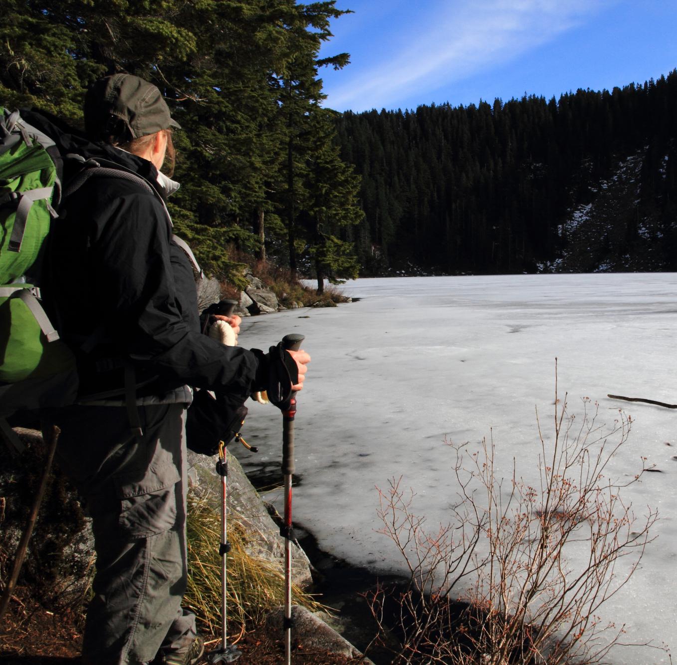
 My trusty topo map got me to this lake in the middle of winter, no trail to follow!
Home page > Trail Techniques >
Topographical Maps


